Reserve from the case
Shipping Estimate
USA
- USA
- CAN
- USA
- CAN
Ships within 48 hours · Estimated delivery Sep 2 - Sep 7
Reserve from the case
Ships within 48 hours · Estimated delivery Sep 2 - Sep 7
up-to-date cartography with new streets and changes
3 miles north of Midland city limits
washable-laminated surface
- South to Fort Mill with portions of Wesley Chapel and Monroe
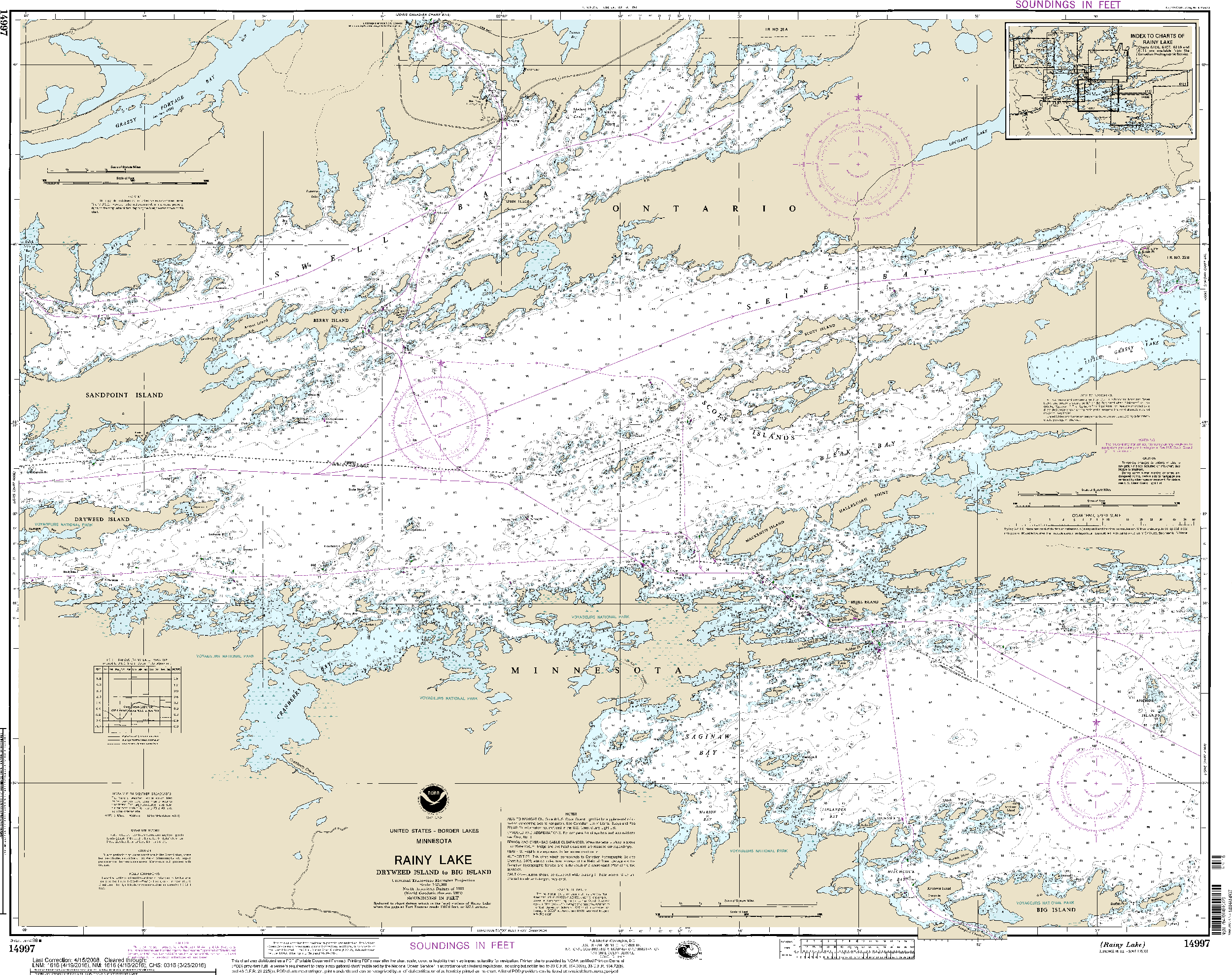
NOAA Nautical Chart 14997: Rainy Lake-Dryweed Island, to Big Island Paper Type:Paper up-to-date cartography with new streetsPublication Date: 1998 Edition: 15 Scale: 1: 25,000 (1 inch=0. 39 miles) Map Size: 31. 79 x 39. 51 inches GeoMart is a authorized agent of NOAA and NGA print on demand nautical charts. Our charts are updated and printed after you place your order. This provides you with the most up to date NOAA approved nautical chart available. The NOAA Nautical Chart 14997: Rainy Lake Dryweed Island, to Big Island is printed on heavy weight acid free paper with the


US$ 50.00

US$ 45.00

US$ 80.00


US$ 84.95


Pay in 4 interest-free payments of $6.74 Learn more